Nature
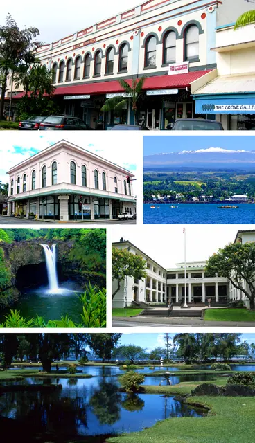
Wailoa River State Recreation Area is a 131.9-acre park in Hilo on Hawaiʻi Island, between downtown and Hilo Bay along the lower Wailoa River. It emerged from repeated tsunami destruction of Hilo’s bayfront, including Shinmachi, after the 1946 Aleutian Islands earthquake and the May 23, 1960, Valdivia earthquake in Chile. Hawaiʻi County responded by barring rebuilding in the flooded zone, relocating residents, and creating Project Kaikoʻo, approved in 1961. By 1965, land had been acquired for a green belt and tsunami buffer, with part of the area raised for safer development. Today the park blends open space, cultural institutions, and memorials tied to those losses.
Hear stories like this as you drive
ExploreHere reads historical markers out loud as you pass them: over 325,000 stories across the US. No account needed.
4.7 · 800+ ratings · Free
FIND IT
Hilo, Hawaii · United States