History
7
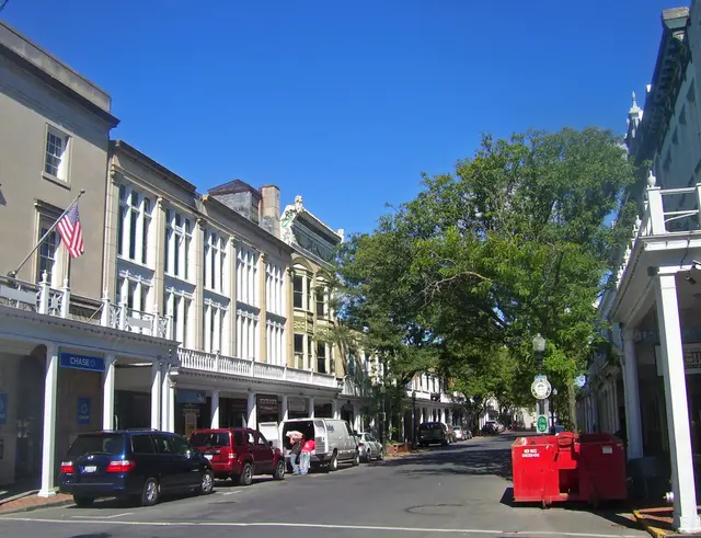
In 1695, Kingston's walled village of Wiltwyck stood within a stockade built in three weeks and fourteen feet high. About seventy settlers took their houses and barns apart log by log, carted them uphill, and rebuilt them inside the Stockade Area. Gates gave the men access to their fields, but women and children were confined to life within the twelve hundred by thirteen hundred-foot perimeter of the wall. The original circa 1660 portion of the Hoffman House stood on the Stockade Area's northwest corner, and there was evidence it may have also served as a fort. On June 7, 1663, the second of two wars began when the Esopus Indians set the village on fire. After a peace treaty signed in 1664, the Esopus Indians gradually migrated from the area. From 1658 to 1677, the Stockade Area was expanded three times to a perimeter just under a mile. Now a National Historic District, it contains one of the largest clusters of seventeenth- and eighteenth-century Dutch style stone houses in the U.S.
Hear stories like this as you drive
ExploreHere reads historical markers out loud as you pass them: over 325,000 stories across the US. No account needed.
4.7 · 800+ ratings · Free
FIND IT
Kingston, New York · United States