Transportation
8
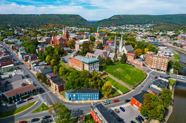
This great water gap was discovered in 1755 by Lt. Spendelow, a naval officer with the ill-fated Braddock expedition. Cut by the stream now known as Wills Creek, widened by ages of frost and rain, and plunging down over 900 feet from the top of Wills Mountain, the Narrows provided a water level route through the mountain. In 1806, during the Jefferson Administration, Congress authorized its first road project, the Cumberland Road, later called the National Road. Originally built over the mountain to the south of the Narrows, in 1834 the road was relocated to use this passage. Later the Baltimore and Ohio Railroad, first to reach the Alleghenies, extended its lines through the gap toward the west. Through the Narrows passed countless thousands of settlers westward bound for the Ohio Valley and the Midwest. Stagecoaches, Conestoga wagons and herds of cattle and sheep using the Narrows gave way to countless trains and motor vehicles, moving to develop a growing nation.
Hear stories like this as you drive
ExploreHere reads historical markers out loud as you pass them: over 325,000 stories across the US. No account needed.
4.7 · 800+ ratings · Free
FIND IT
Cumberland, Maryland · United States