Military
6
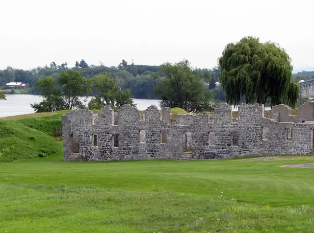
During the 18th century, the most practical travel and communication route through the wilderness between French Canada and British North America was by water, following the Sorel (Richelieu) River, Lake Champlain, Wood Creek, and the Hudson River in a direct route from Montreal to Albany, with portages around the rapids at Chambly on the Sorel and between the southern end of Wood Creek and the Hudson at Fort Edward; an alternative route by way of Lake George required an additional portage around the falls at the lake outlet. At Crown Point, where Lake Champlain narrows to a quarter mile in width, this water route could be controlled, and French, British, and American forces each made occupation of Crown Point and control of the waterway primary objectives in military planning.
Hear stories like this as you drive
ExploreHere reads historical markers out loud as you pass them: over 325,000 stories across the US. No account needed.
4.7 · 800+ ratings · Free
FIND IT
Crown Point, New York · United States