Nature
8
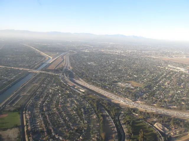
The San Gabriel River flows 43 miles through Los Angeles and Orange Counties in California in the United States. Measured to its highest headwaters in the Angeles National Forest along the Prairie Fork in the San Gabriel Mountains, the river is 60.0 miles long and drains a watershed of 713 square miles. The San Gabriel River basin includes the rugged southern slopes of the San Gabriel Mountains, the urbanized San Gabriel Valley, and the similarly developed coastal plain of the Los Angeles Basin. The river takes its name from the Spanish Mission San Gabriel Arcángel, founded in 1771 in what is now the city of San Gabriel. Until the mid-20th century, it flowed freely with natural banks and riparian habitat lined with forests, marshes, and grasslands for much of its length, with a large estuary at its mouth, but today most of the river is channelized, with the section below Whittier Narrows Dam lined by concrete and some stretches impounded by debris and flood control dams.
Hear stories like this as you drive
ExploreHere reads historical markers out loud as you pass them: over 325,000 stories across the US. No account needed.
4.7 · 800+ ratings · Free
FIND IT
Seal Beach, California · United States