Transportation
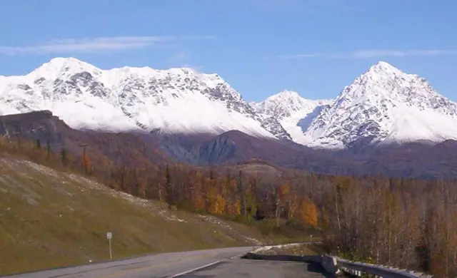
The Dena'ina called this river the Chatanhtnu and the Ahtna called it Ts'itonhtna', meaning "river from which trail comes out." The Matanuska River watershed was an important route between Cook Inlet and the Copper River Basin for many centuries, used by the Coastal Dena'ina and Interior Ahtna Hwt'aene' for hunting, fishing, trading, and travel to visit extended family. Beginning in the 1880's, trails used by Indigenous peoples became the trails explorers used to access interior Alaska, and many segments of those trails are still in use today. The Matanuska River flows 75 miles from its headwaters at the Matanuska Glacier to the salt water of the Knik Arm and Cook Inlet. Its braided channels can change dramatically overnight as the river changes course. Silty in summer, the Mat runs clear and turquoise in late fall, winter, and early spring. Runs of red sockeye, dog chum, king Chinook, and silver coho salmon, along with resident fish, travel up the Matanuska River to spawn in local streams such as Moose Creek, Granite Creek, Eska Creek, and Kings River, as well as in clear-water side channels along the silty river.
Hear stories like this as you drive
ExploreHere reads historical markers out loud as you pass them: over 325,000 stories across the US. No account needed.
4.7 · 800+ ratings · Free
FIND IT
Lazy Mountain, Alaska · United States