Nature
9
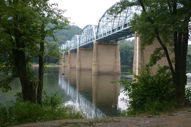
For centuries, numerous floods have shaped the land and affected structures in the Point of Rocks area. Although the Potomac River has provided transportation, food, recreation, and beauty to Point of Rocks, flooding has also devastated portions of the town. Several major floods dating back to 1889 are marked by their actual water levels, or crests, measured as heights above the elevation at the Potomac River Gauging Station on the left bank of the river on the downstream side of the US 15 Bridge. At Point of Rocks, the National Weather Service defines flood stages as action stage at 15 feet, flood stage at 16 feet, moderate flood stage at 20 feet, and major flood stage at 25 feet. As of 2017, major floods had been recorded 27 times since modern record keeping began in the 1800s.
Hear stories like this as you drive
ExploreHere reads historical markers out loud as you pass them: over 325,000 stories across the US. No account needed.
4.7 · 800+ ratings · Free
FIND IT
Point of Rocks, Maryland · United States