History
5
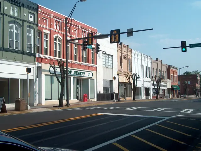
Cedartown developed from the original town plan created after Asa Prior divided his land, with a courthouse square on the north side of the tract and surrounding lots intended for commercial use. The Rome Road, now Main Street, ran along the eastern side of Prior's land grant, and because it drew more traffic, commercial growth shifted away from the courthouse and moved south along Main Street toward the Baptist Church, built in 1845 on land donated by Prior and William West. West also set aside lots for development on his land east of Prior's original courthouse grant. With Prior's land on one side of Main Street and West's on the other, streets were laid out without four-way intersections. Why the two men did not coordinate their street plans is unknown, but the result remains a distinctive urban plan. In 1886, Charles Adamson of Philadelphia formed the Cedartown Land Improvement Company and began expanding industrial and residential development in Cedartown. In 1891, he hired Philadelphia civil engineer S.S. Evans to lay out new streets beyond the town's existing limits, and many of those streets took names from Philadelphia streets and places, including Wissahickon, Chestnut, Walnut, Fairmount, and Girard.
Hear stories like this as you drive
ExploreHere reads historical markers out loud as you pass them: over 325,000 stories across the US. No account needed.
4.7 · 800+ ratings · Free
FIND IT
Cedartown, Georgia · United States