Military
9
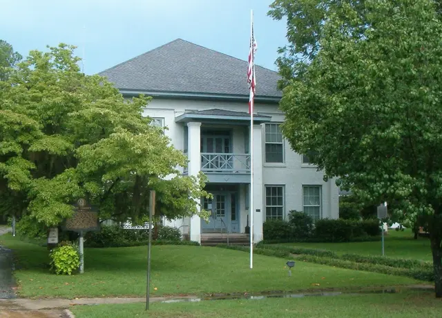
In August 1814, the Treaty of Fort Jackson set a boundary between the confederated Creek tribes and the United States, extending eastward from the mouth of Cemochechobee Creek south of here to a point near Jesup, Georgia. Signed by General Andrew Jackson for the U.S. and Tustennugge Thlocco, or Big Warrior, and Thstennugge Hopoie, or Little Prince, for the Creeks, it ceded about 23 million acres and was intended during the War of 1812 to separate hostile Indians from British forces in Florida. In 1814, a military garrison later named Fort Gaines was established on the Chattahoochee River to patrol this buffer against the British and hostile Indians. Benjamin Hawkins, Indian agent to the southern tribes, and troops commanded by Coweta Chief William McIntosh were tasked with enforcing Jackson’s prohibition on any Indian entering the newly acquired territory, under orders that “all persons carrying and bringing lies” to the British would be shot, because he believed the nearby Oketeyeconne and Hitchiti towns were havens for spies.
Hear stories like this as you drive
ExploreHere reads historical markers out loud as you pass them: over 325,000 stories across the US. No account needed.
4.7 · 800+ ratings · Free
FIND IT
Fort Gaines, Georgia · United States