Transportation
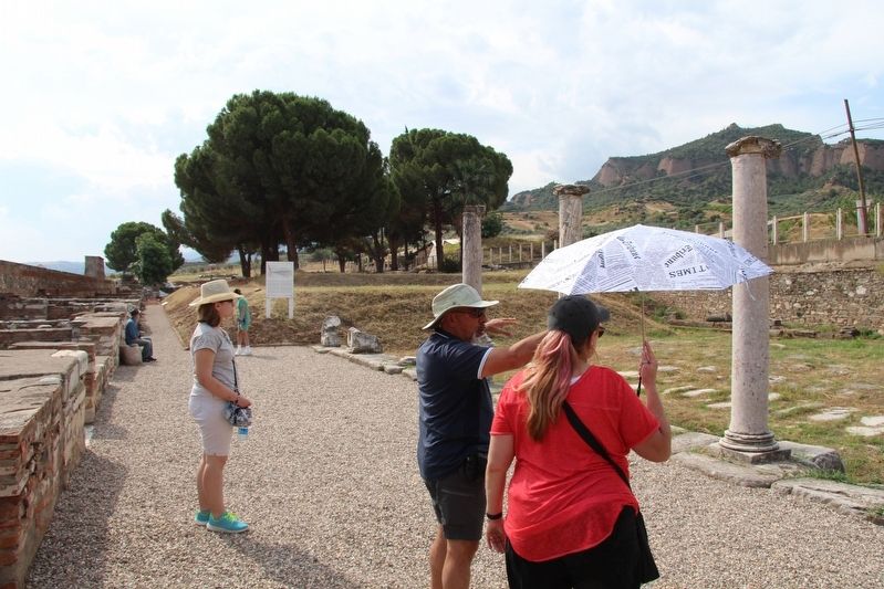
This monumental Roman avenue was one of a series of important east-west thoroughfares that passed through Sardis over a span of 2500 years. During the Lydian period in the 7th and 6th centuries BC, a road near here approached one of the city's main gates, located about 100 meters to the east. In Roman times, the Lydian gate was replaced by an open plaza and enormous arched structure, and for much of the Roman period this street provided an impressive stage for urban life. The roadway was nearly 12 meters wide and was paved with marble blocks that sloped gently to the north and south, with pipes and drains below the surface forming part of a complex water-management system. Individual marble blocks preserve signs of pedestrian and vehicle traffic as well as graffiti carved by local inhabitants. In the 5th and 6th centuries AD, covered porticoes with mosaic walkways ran along both sides of the paved road. The reconstructed columns of the north portico and the long row of commercial units known as the Byzantine Shops belong to a time of increased ceremonial and commercial activity in this part of the late Roman city. The streets of Late Roman Sardis were flanked by buildings serving residential, commercial, and industrial purposes. The row of small rooms behind the north portico of the Roman avenue, the Byzantine Shops, belonged to a lively commercial district in the 5th and 6th centuries. Their accessible street-side location and consistent, nearly modular construction suggest that municipal authorities developed these modest structures and leased them to individual proprietors to support the local economy and help defray the costs of civic maintenance. Individual shops could be easily subdivided or combined to suit changing needs. Most of the spaces remained occupied through the late 500s, but they were abandoned after an earthquake and fire swept through the quarter in the early 7th century. Roughly cobbled surfaces at higher levels apparently belonged to a succession of post-Roman highways that ran over the north portico during Byzantine and Ottoman times. Construction of a nearby highway between Izmir and Ankara in 1950 shifted traffic slightly southward, away from the remains of the Roman bath-gymnasium, and in 2000 a new, wider highway was built 800 meters to the north, bypassing the ancient site and its surviving monuments.
PHOTOS
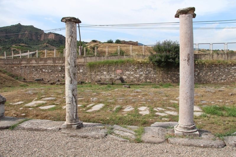
Photo: Dale K. Benington
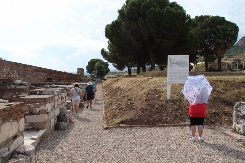
Photo: Dale K. Benington
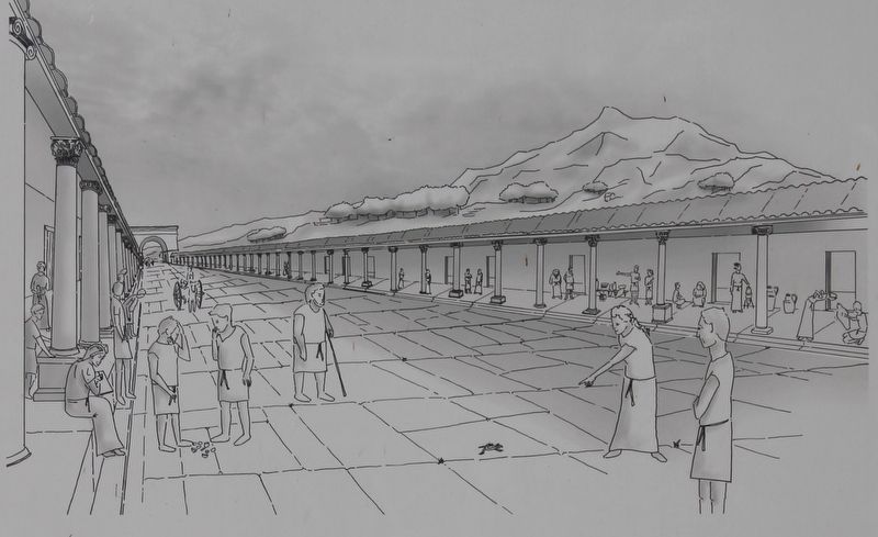
Photo: Dale K. Benington
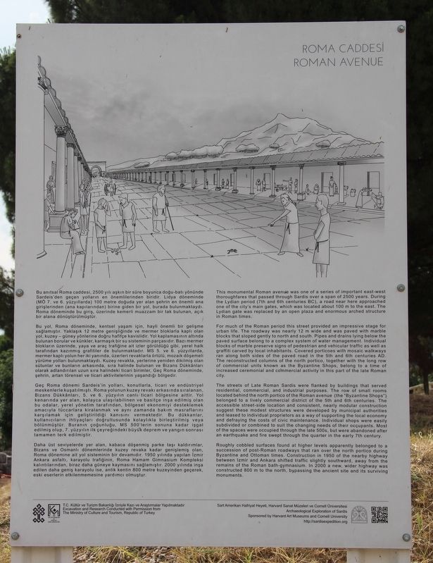
Photo: Dale K. Benington
FIND IT
NEARBY MARKERS
© 2026 MainEngine